June 2020
Can a drone survey land for you?
Drone Surveying
Modern drones maintain their position in the air by constantly checking GPS and altitude then changing rotor speed accordingly.
You can send a drone up in the air, and it will stay there until the battery runs out.
All that positional data is tagged on the images and video the drone takes. This is “geo tagging”.
What does a geo tagged image do?
If you create the right software to read the image geotags you can stitch the images together to make a 3D representation of what you have taken images of, take measurements and even calculate the health of the plants in the surveyed area.
Hovaloft have used DroneDeploy but other software is available, like Pix4D, AutoDesk ReCap, 3DF Zephyr and more.
In this example we did a basic survey of Norton House Country Club here.
This image shows plant health around Norton House. We have had a dry spell for a few days now!
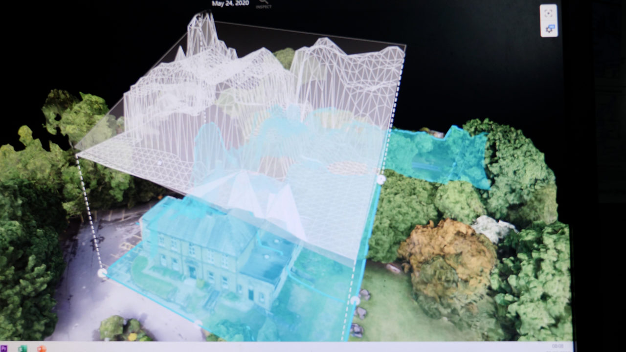
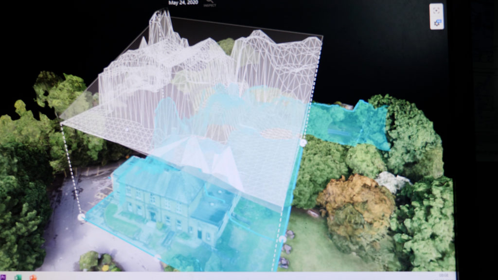
This image shows a volumetric measurement of the building, and finally, I have drawn two cross sections of the property, so it shows the profile and length of the lines.
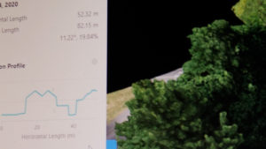
And this is the report for Norton House, with measurements and images
Paul Stinson was a Communications Manager for a multinational company for 12 years before starting Hovaloft Ltd., a drone and terrestrial videography business in Sheffield.
Paul has been flying drones for over 3 years and his work can be seen on YouTube here: https://www.youtube.com/channel/UCLm_tFB0tcZOggeop_FYUEA?view_as=subscriber and his website here: www.hovaloft.co.uk
Contact Paul on 07830071112 or paul@hovaloft.co.uk